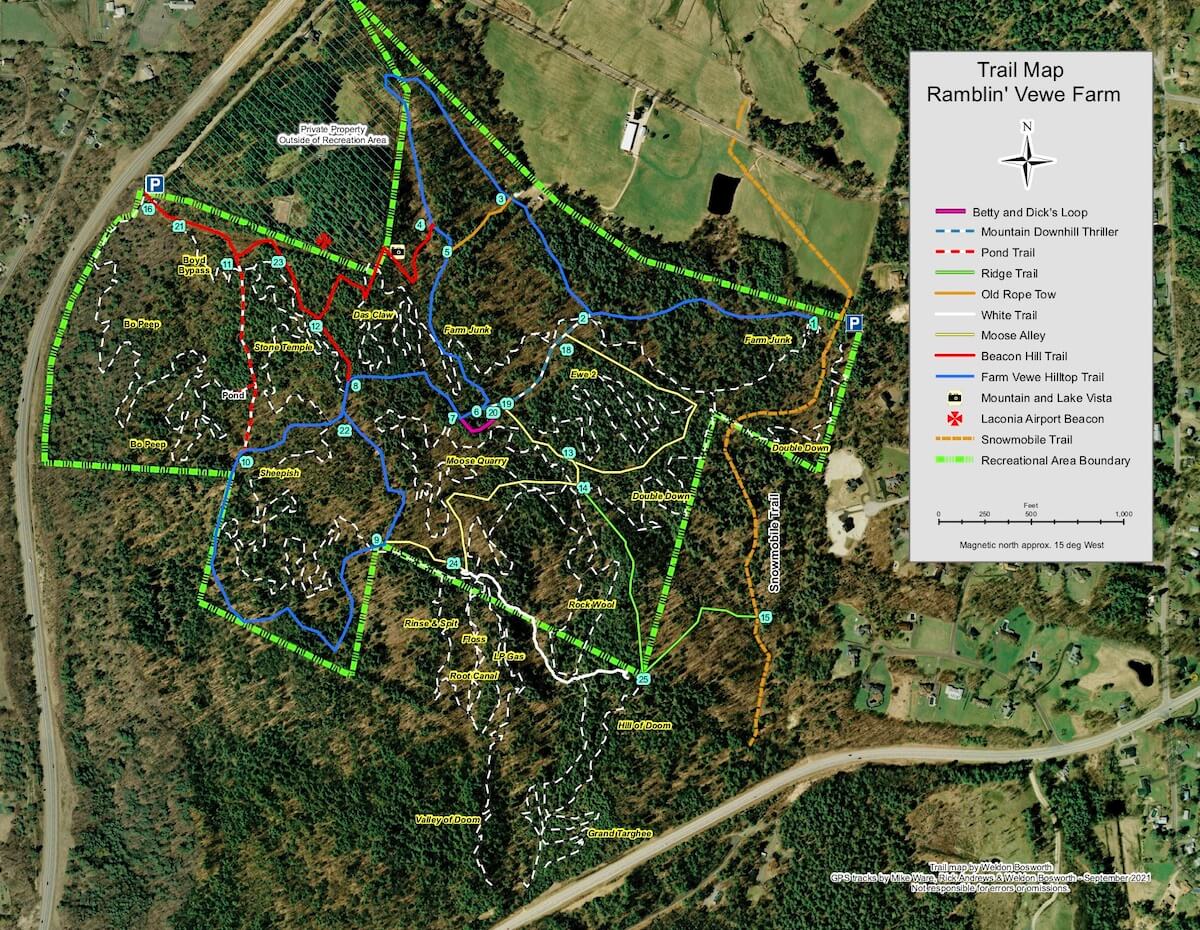
This map is georeferenced, i.e., has embedded coordinates.
Once downloaded to your drive, you can load to a smart phone app such as “Avenza pdf Maps” (free for non-commercial use) and view coordinates, measure distances etc.
This map is available at the trailheads or you can purchase one for $2.00 from the Gilford Public Library. The recreational area trail system can be accessed either from Morrill Street or from Boyd Hill Rd.
Mt. Bikers are asked to access the trails from the Boyd Hill Rd. trailhead.